
Redlands ZIP Codes by Delivery Area
Three operational ZIPs serve different Redlands mailing roles. The first two are standard street-delivery areas with different north-south patterns. The third is tied to PO-box and routing use rather than a broad residential ZCTA. A postal directory should name those roles plainly, then send a specific address to USPS for a final delivery answer.
| ZIP | Areas covered | Post office | Notes |
|---|---|---|---|
| 92373 | South and central Redlands, including downtown and south-side areas | Redlands Post Office, 201 Brookside Ave, Redlands CA 92373-9997 | Standard street delivery and the main office ZIP |
| 92374 | North and east Redlands, including Lugonia and University-side areas | Lugonia facility, 1275 W Park Ave | Standard street delivery; verify each address with USPS |
| 92375 | Redlands postal role associated with PO boxes and routing | Verify the box or address with USPS | Not a broad residential ZCTA; routing history matters |
The table describes delivery geography, not municipal limits. A postal city can cover land outside an incorporated line, and a city parcel can carry a postal label for a neighboring delivery pattern. The City GIS parcel layer keeps ZIP, jurisdiction, and ParcelInRedlands as separate fields.
Redlands 92373: South and Central ZIP
92373 is the south and central pattern in the Redlands ZIP guide. It includes downtown and south-side street delivery. The Redlands Post Office is at 201 Brookside Ave, Redlands CA 92373-9997. A city or neighborhood label can help frame a search, but USPS remains the authority for whether a complete address receives this ZIP. A city-state-only lookup is broader than an address-level result.
The official Redlands Post Office listing is the source for the assigned image below.
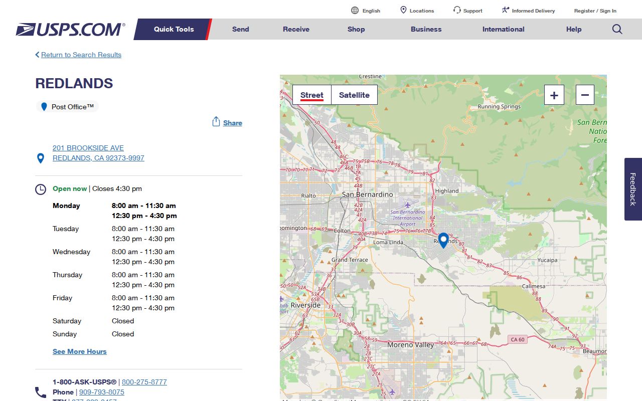
The facility image adds a location anchor, not a resident count. For a family reunion or estate question, save the delivery result with the date and the exact address wording used.
Redlands 92374: North and East ZIP
92374 serves the north and east pattern, including Lugonia and University-side areas. The Lugonia facility is associated with 1275 W Park Ave. That geography is helpful when sorting a set of historical letters or a local address list, but it should not be used to infer a city boundary. A 92374 line is a postal clue. The parcel's City GIS jurisdiction and boundary fields are the municipal check.
The 92374 area also illustrates why a postal directory should not promise a ZIP-wide resident search. USPS assigns delivery routes, while the county assessor records parcels and the city maps land. Those systems share address clues but do not publish the same kind of list.
Redlands 92375 and the PO-Box ZIP
92375 is associated with PO-box and routing use rather than a broad residential ZCTA. That makes it easy to misread. A box number, mailing line, and physical situs can point to different places. Verify any particular box or address through the USPS ZIP lookup before treating 92375 as a neighborhood boundary or as evidence that a parcel sits inside Redlands.
The distinction is useful for old records. A letter may retain a postal label after routing practice changes, while a deed or parcel map keeps the physical land in a different record system. Use the ZIP to find the right delivery path, then use APN, legal description, and jurisdiction for land research.
A Redlands ZIP Search, Step by Step
A ZIP search should move from the delivery answer to the land record, then stop where the source stops. No local portal documented in the research offers a consumer-facing search of every Redlands resident within a ZIP. The steps below keep the postal guide useful without turning it into an unsupported roster.
- Verify the address with USPS. Use the full street address, not only Redlands and California. Record the returned ZIP and the exact address form.
- Resolve the parcel. Use county govPIMS in its documented APN, physical address, or owner modes. The guide does not promise a ZIP-wide browse.
- Check the city map. Open Redlands GIS, select the parcel, and compare its ZIP with ParcelInRedlands, Jurisdiction, City Boundary, and Sphere of Influence.
- Use an approved voter channel only when eligible. My Voter Status is an authenticated self-lookup. Other-voter files require a qualifying purpose, an application, identification, a fee, and a security plan. ZIP analysis is not ordinary public directory access.
- Move from ZIP to street records. Once the area is narrowed, the Redlands street directory supplies the address, parcel, deed, permit, and boundary sequence.
Each step answers a narrower question. USPS confirms delivery. GIS tests geography. The assessor bridges the address to a parcel. Deed and permit sources follow their own access rules. Keeping those roles apart prevents a postal label from carrying more weight than the source supports.
Verify a Redlands ZIP at the Address
The USPS complete-address lookup is the address-level authority for deliverable ZIP information. A city and state lookup can associate ZIP codes with the postal city, but it cannot decide whether land falls inside the incorporated city. The result should be read as a delivery answer, not as proof of ownership, occupancy, annexation, or a historical boundary.
The assigned USPS lookup page is the source for the image below. It shows an address-level tool, not a resident list.
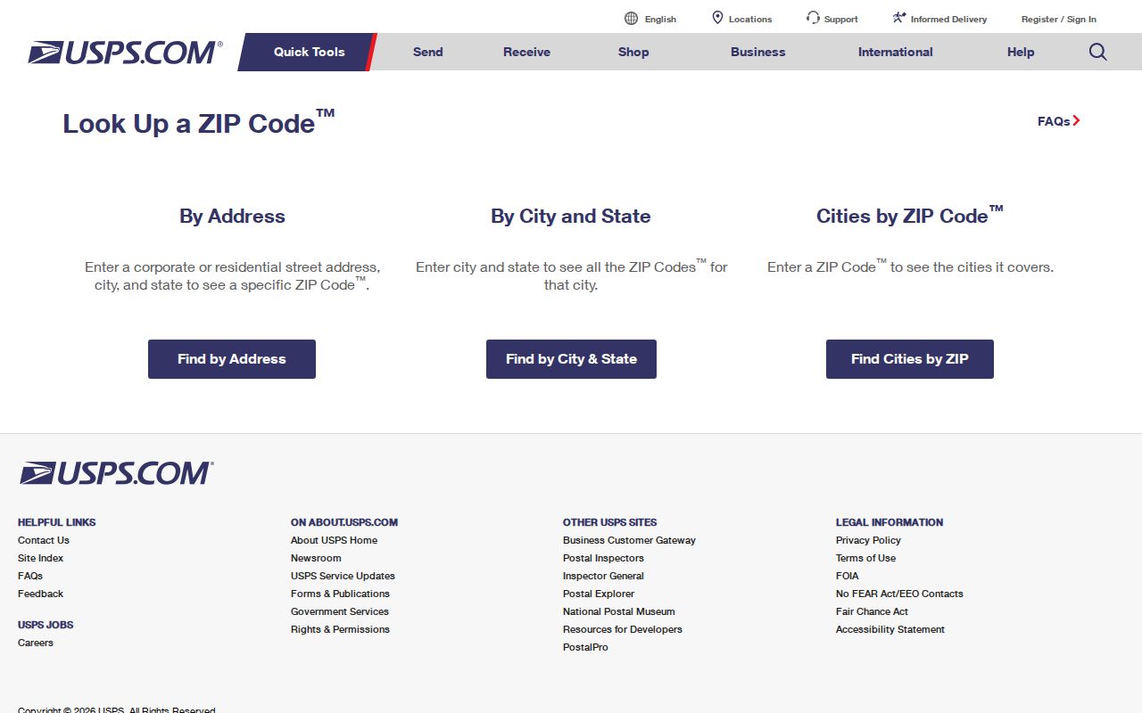
For a record search, keep the USPS result beside the parcel result. A changed ZIP line may explain a mail trail, while the APN and legal description keep the land trail stable.
Redlands ZIP Lookup Fields and Limits
The USPS source supports two useful lookup ideas, but they should not be described as one search. The complete-address path is the precise check. The city-state path is a list of postal associations. The labels below describe the research-supported inputs and limits rather than promising a particular live widget layout.
| Lookup input | Use | Limit |
|---|---|---|
| Complete street address | Return the deliverable ZIP for a specific location | Does not determine city jurisdiction or who occupies the parcel |
| City and state | Associate ZIP codes with the postal city | Too broad to settle an address, boundary, or parcel question |
| ZIP code | Compare a known delivery area with a postal source | Does not create a public resident list or prove a ZCTA is a route |
A ZIP reference can explain where to verify an address, but it cannot fill in missing source data. When the USPS tool and a local map seem to disagree, compare the input address, the date, the postal city, and the parcel jurisdiction before deciding that one record is wrong.
Redlands ZIP, ZIP+4, ZCTA, and Route Terms
These terms describe different kinds of geography. They should not be swapped in a family-history note, a parcel comparison, or a civic record request.
- ZIP
- A USPS delivery-area code used to sort and route mail. It is not a city-limit polygon.
- ZIP+4
- The nine-digit form that adds four digits to a five-digit ZIP for a more precise delivery segment.
- PO-box ZIP
- A ZIP used for post-office boxes or a special routing role. It should not be treated as a broad residential map.
- ZCTA
- A Census statistical approximation built for mapping and tabulation. It is not the same thing as a USPS delivery route.
- Carrier route
- A mail-carrier grouping within a delivery system. It describes service organization, not municipal authority or a resident roster.
The Census Bureau's boundary files are useful for statistical maps, while USPS is the source for an exact deliverable address. A ZCTA can look like a ZIP on a map and still differ from the route used for a specific Redlands address.
Redlands ZIP GIS and govPIMS Filters
Redlands GIS exposes ZIP in the parcel schema along with site number, street, city, state, owner and mailing fields, legal description, ParcelInRedlands, and Jurisdiction. Its ArcGIS service supports SQL, distinct values, pagination, statistics, and distance queries, but the General Plan layer caps results at 3,000. Cityworks has a 1,000-record maximum. Those are technical capabilities, not a documented public search of every person in a ZIP.
County govPIMS documents APN, physical address, and owner modes. It does not document a ZIP-wide resident browse. The California My Voter Status tool has no ZIP-browse mode. An approved voter file may be analyzed by residence ZIP only for an authorized purpose, with protected fields excluded.
The City map is also the place to check the boundary and sphere layers. A parcel with a Redlands postal city may remain county jurisdiction or sphere-of-influence land. That difference changes which office holds a permit or local record.
Redlands ZIP Codes Versus City Lines
City limits, county land, a sphere of influence, and a postal route are separate geographies. The General Plan map draws the City of Redlands Boundary and Redlands Sphere of Influence alongside county and other planning areas. The parcel layer adds Jurisdiction and ParcelInRedlands, which are more useful than a mailing line when a researcher must choose the right records custodian.
Annexation No. 96 is a local example of why a map needs context. Land in the city's sphere can carry county planning designations while city planning documents describe proposed agriculture, industrial, public, or residential categories. That does not make every parcel part of the city. Check the current layer and the date tied to the record.
The Census cartographic-boundary page can support a statistical map, but it is not a substitute for the city's parcel or boundary service. A postal reference should state which map is being used.
The Census cartographic-boundary source is the source for the image below. It illustrates generalized geography rather than a USPS route.
The map is most useful when paired with a parcel APN and the city's jurisdiction fields. It should not be read as a list of Redlands addresses or residents.
The 2014 Redlands ZIP Routing Change
The 2014 USPS Postal Bulletin 22397 records a label-container change for destination ZIPs 92374 and 92375. Their routing label moved from “REDLANDS CA 92373” to “REDLANDS CA 92374.” This is a documented postal processing change, not evidence that a home moved, a street was renumbered, or a city boundary changed.
The routing fact is valuable when reading an old envelope, directory line, or family paper. It explains why two records from different years can use different Redlands ZIP labels for a related delivery path. The physical address, parcel, legal description, and jurisdiction still need their own checks.
A ZIP Code Directory Is Not a Resident Roster
ZIP research is suited to genealogy, reunions, estate work, civic geography, and personal efforts to verify an address or avoid a scam. It is not a reason to infer that everyone using a postal code lives within a city line. Do not merge parcel owners, mailing recipients, household members, or voter records into one invented list. Check the custodian when an address fact matters.
Lawful personal use. A Redlands ZIP code directory is a geography aid for lawful personal research. California Penal Code §646.9 and Civil Code §1708.7 prohibit stalking, harassment, and related abuse; never use a ZIP, address, or public record to threaten or harm a person.