
Redlands Neighbors by Source
The block layer combines narrow record types. City GIS shows parcel geometry and context. govPIMS supplies assessment data. The recorder follows prior transactions. A voter file needs an approved requester and use, while Neighborhood Watch and the survey offer participation paths, not member lists. Historic reverse directories show listed households for a publication year.
| Source | What It Shows About a Block | Access |
|---|---|---|
| Redlands City GIS | Adjacent parcel geometry, APN, assessed owner or address, and district context | Free map, address locator, and layer clicks |
| County govPIMS | Parcel details plus the owner mailing address and physical situs distinction | Free assessor search |
| Recorder index | Prior transactions tied to an owner and legal-description chain | Free index; copies or images through ARC |
| Approved voter file | Block-level registration records when a requester has a lawful purpose | Application, identification, fee, and security plan |
| Neighborhood Watch | Participation opportunity and block-captain structure, not a public member list | Official program contact |
| City neighborhood survey | Feedback and optional contact intake, not a public roster | City survey form |
| Historic reverse directory | Past listed households or addresses for a publication year | Library or archive access; not a current roll |
Begin with the address, then name the question. Property work belongs in parcel and deed layers; community work belongs with a civic program; history belongs with directories, census schedules, newspapers, and archives. Mixing layers can make an owner look like an occupant or an old household look current.
Map Your Redlands Neighbors
The Redlands GIS viewer gives a practical adjacent-parcel method. Locate the target, turn on parcels, and select the polygon at the address. Then click polygons immediately north, south, east, and west. Each can supply an APN, site address, assessed owner, and district context. The map is not a household register.
- Locate the target address in the City of Redlands GIS viewer and zoom until parcel lines are clear.
- Click the target parcel, record its APN and site address, then select each touching parcel one at a time.
- Open govPIMS for a parcel detail and compare its owner name, situs, and mailing fields.
- Use the legal description or APN to check an official-record chain when prior ownership matters.
- Stop at the owner and parcel facts. Do not turn the map into a claim about household members.
The General Plan parcel layer supports spatial and distance queries up to 3,000 records; Cityworks has a 1,000-record maximum. For a named street and full address chain, use the Redlands street directory.
Redlands Neighbor Parcels and Situs
Assessor data answers two address questions. Situs is the physical location; the owner mailing address is where an assessment notice goes. Redlands parcel fields keep site and mail city, state, and ZIP separate. Matching addresses may suggest owner occupancy, but do not prove it. A different mailing address may point to a trustee or another deed-trail lead.
Ownership is not occupancy. Non-owner occupants, household members, utility customers, delivery recipients, and DMV address holders generally do not appear. Protected names may be withheld under Government Code section 7928.205 or Safe at Home. Report “assessed owner,” not “person who lives there.”
- Parcel
- A mapped piece of land identified by an APN and legal description.
- Situs
- The physical site address for the parcel, separate from an owner's mailing address.
- Adjacent parcel
- A parcel that touches the target lot on the map, such as the lot north, south, east, or west.
- Qualifying voter file
- Registration data released only to an approved requester for an authorized purpose and protected handling plan.
Redlands GIS Layers Around You
GIS explains why a block can look different across agencies. General Plan layers include city and county boundaries, sphere of influence, Southeast Area, parcels, transportation, and planning. Cityworks adds permits, code cases, flood, fire, historic, and zoning layers. This context can guide the next custodian without identifying a household member.
Redlands parcels carry a site ZIP, ParcelInRedlands flag, and Jurisdiction field. A mailing line saying Redlands does not establish city limits. Check the boundary layer before routing a request to City Hall.
Use these layers for civic curiosity, a reunion walk, property history, or permit jurisdiction, not for collecting names in a radius.
Redlands Neighborhood Watch
Neighborhood Watch is the verified community contact for a Redlands block. The official program welcomes owners and non-owner residents, seeks block captains, and does not publish member names or addresses. Rick Strobaugh is the listed contact at rstrobaugh@redlandspolice.org. It is a civic participation path, not a neighbor directory.
The official Neighborhood Watch page is the right place to ask about participation and block structure. It does not establish that a person lives on a particular parcel, and it should not be used to request a private roster.
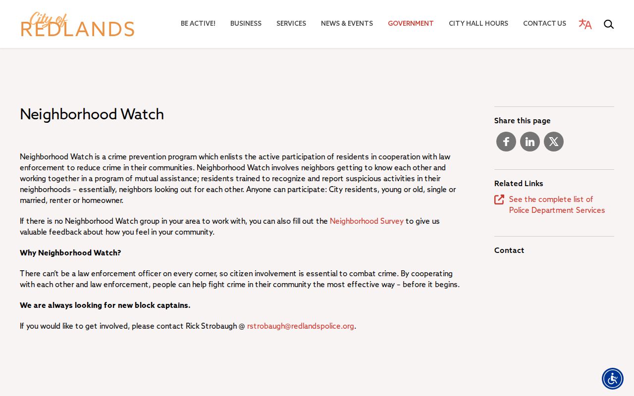
The Neighborhood Watch capture shows the civic program entry point and its public-facing limits.
Verified community contact
Program Redlands Neighborhood Watch
Contact Rick Strobaugh
Email rstrobaugh@redlandspolice.org
Public record Participation path, not a member roster
Civic Survey, Not a Roster
Redlands offers a neighborhood survey for concerns, program interest, and contact intake. It can request a name, address, phone, and best contact time. Responses are not a public list of neighbors or proof of occupancy.
The official neighborhood survey is for reporting a block issue or asking about civic programs, not for collecting contacts.
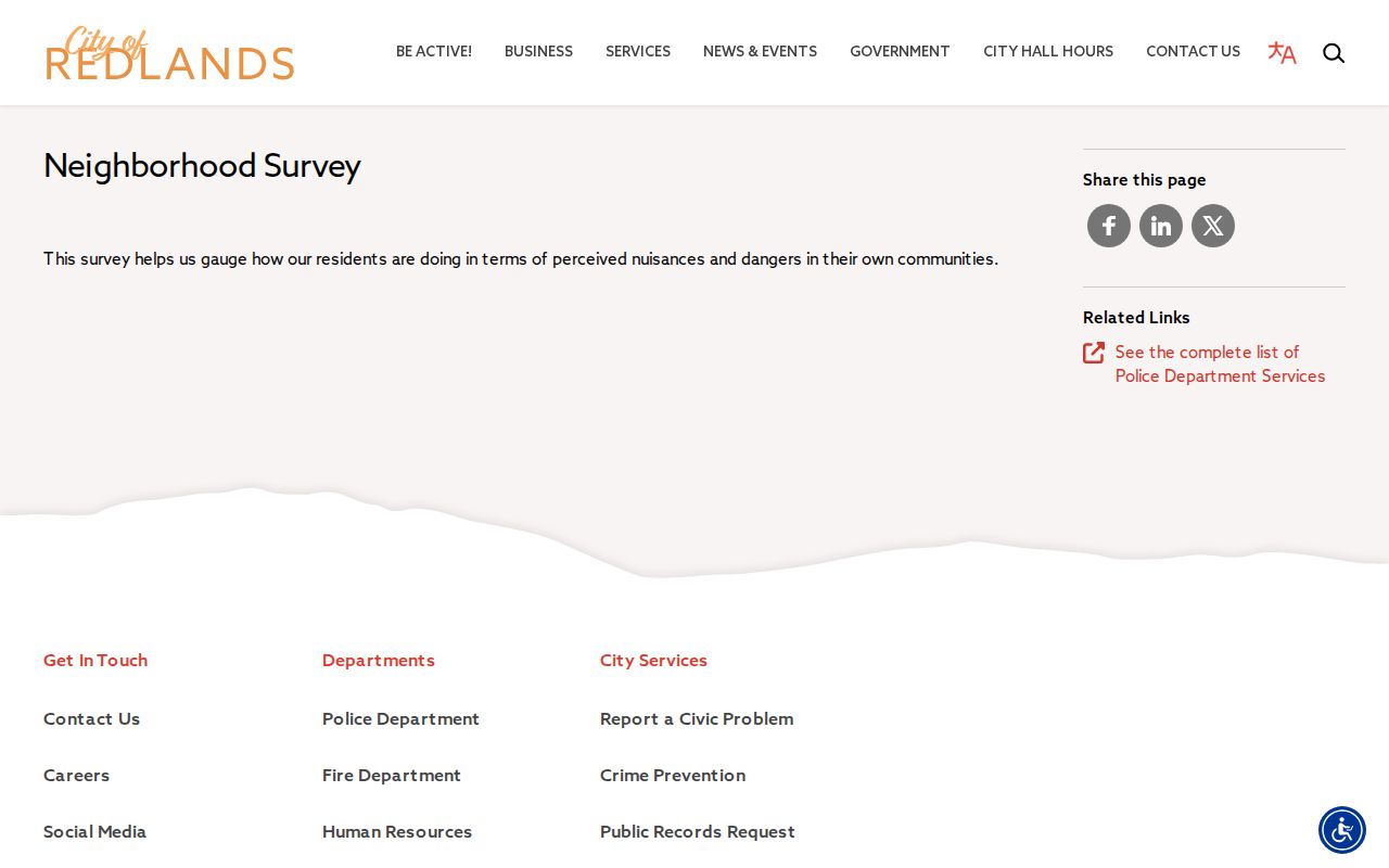
The survey image illustrates a feedback channel, not a public roster of Redlands neighbors.
No verified citywide HOA or neighborhood-association member directory was found. Do not invent an association name or roster from an unverified page.
Voter Limits for Redlands Neighbors
California My Voter Status is for a voter to retrieve their own status. It asks for first name, last name, date of birth, and conditional California driver license or ID and last four SSN fields. It is not an open block search. Other voter data needs an authorized purpose, application, ID, fee, and security plan.
California rules protect confidential voters and never disclose ballot choices. An approved file may include residence and mailing information, precinct, party preference, status, dates, and participation method, but release stays tied to the approved purpose. Safe at Home participants are protected.
Use the California My Voter Status lookup for the person who is checking their own record. It cannot show who the Redlands neighbors are, and a voter file is not a shortcut around privacy rules.
ZIP and City Boundaries
Redlands has street-delivery ZIPs 92373 and 92374, while 92375 is associated with PO-box or routing use rather than a broad residential map. USPS assigns labels; the city sets boundaries. A complete address lookup is best near a boundary or older postal label.
The 2014 USPS Postal Bulletin documents a routing label-container change for 92374 and 92375 from Redlands 92373 to Redlands 92374. That is a postal processing change, not proof that a parcel moved city limits. Use the USPS ZIP lookup for the current deliverable ZIP, then check Redlands GIS for ParcelInRedlands and Jurisdiction.
A ZIP can group a civic question, but it cannot tell who lives on a block. Check the postal city, sphere of influence, and incorporated parcel separately.
Historic Redlands Neighbors
Older reverse or criss-cross directories put the address first and list a household for a publication year. The verified 1936 Redlands city directory includes Redlands, Mentone, Loma Linda, Bryn Mawr, and Yucaipa Valley. That geography crosses modern boundaries, so an entry does not prove today's city limits.
For history, compare a directory with the 1930, 1940, or 1950 census, then use A.K. Smiley newspapers, maps, obituaries, and the Heritage Room. A directory reflects a compiler's canvass; a census records one date. Neither is current.
This historical layer suits a family reunion, former-classmate search, or house-history project. Keep the year on every note and do not carry a past household into a present-day contact list.
Official and Commercial Neighbor Leads
Official records and commercial neighbor tools answer different questions. A commercial category may merge old addresses and public filings, but it is not a custodian and may not explain its date or source. Official records are narrower and may require a counter, form, or approved purpose.
| Source category | Useful for | Limit |
|---|---|---|
| City GIS and county assessor | Parcel geometry, APN, assessed owner, situs, mailing fields | Does not establish occupancy or household membership |
| Recorder and civic offices | Recorded transactions, participation paths, city-created records | Access, date, and privacy rules vary by record |
| Commercial neighbor tools | Unverified leads that may suggest a name or old address | Stale, merged, incomplete, and not a source record |
For a lawful block question, an APN, document number, survey contact, or public program page is more useful than an unverified name list. Keep source URLs and dates.
Separate Tools, Not Redlands Neighbors
Custody and registry tools are distinct public lookups, not neighbor directories. The Sheriff locator concerns county custody; CDCR CIRIS concerns state-prison custody; Megan's Law provides statutory registry information. None supplies a full life history or proves an adjacent-parcel relationship.
The San Bernardino County Sheriff inmate locator is the official entry point. It can require a name variant, and a booking match is a current custody clue, not a block record.
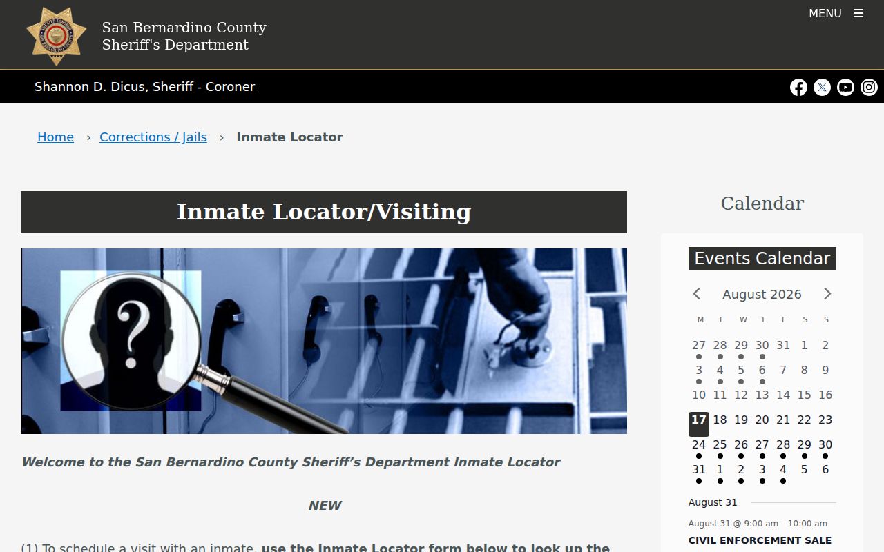
The image identifies the separate county custody tool. It says nothing about people near a Redlands address.
CDCR CIRIS is the state-prison search, while the California Megan's Law site is a statutory registry. Registry map or ZIP detail varies by posting category and is not a complete block list.
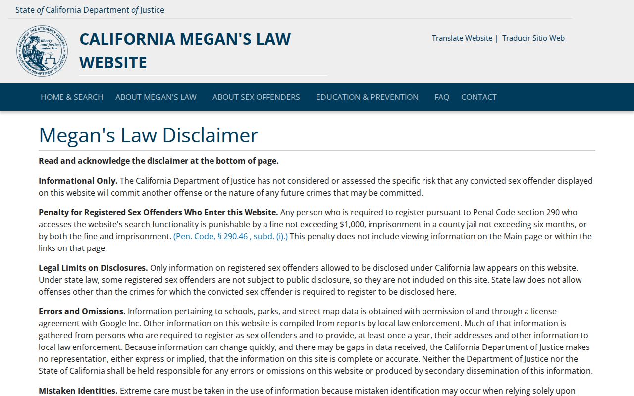
The registry capture remains separate from parcel and civic sources. Do not infer a neighbor relationship from it.
Privacy for Redlands Neighbors
Owner names and parcel facts can be public while non-owner occupants, household members, utility customers, delivery records, and protected addresses remain outside a normal block search. Government Code section 7928.205 and Safe at Home can protect addresses. A public map should not become a reposted private list.
Lawful use. Keep a Redlands neighbor lookup narrow and civic, family, property, or safety focused. California Penal Code section 646.9 and Civil Code section 1708.7 address stalking and harassment. Do not use parcel or public-record clues to watch, intimidate, threaten, or harm anyone.
Verify disputed facts with the custodian, note the date, and stop when a record is sealed, protected, or outside the approved purpose. The safest answer is often a parcel boundary, civic contact path, or source office, not private contact details.